Dales Way
Revisited 4 – Dent to Lincoln’s Inn Bridge
7/4/2017
Between the
last section and this one, I had acquired some replacement boots as not only
did mine obviously let in water, but they hadn’t dried out either!
OH dropped
me at the car park and I walked down past the church and back to the bridge.

Just
by the bridge is a narrow ‘squeeze stile’ on the left (so named because you
really do have to squeeze through them).

I took a photo of the
bridge, then set off through the field.

A farmer was
busy cutting the hay, making the most of the dry weather. It really has been
incredibly wet this year so far L


The path
follows the river (on my right) across the top of a bank built to minimise the
amount of water flooding the fields when it rains and the river floods. It
seemed to be doing a pretty good job so far.

There were
some pretty wild flowers growing along the edge of the path. The pale ones are harebells; the yellow ones
are a vetch of some kind, but I have no idea which variety.


Barth Bridge
came into sight, where I crossed a road

Then followed
the edge of the river again, passing over a footbridge, spanning a stream that
flowed into the river

Then through
fields and a nice example of a field barn

After this,
the path became covered in tree roots, making passing more difficult and
concentration was centred on where I was putting my feet rather than on the
views around
Ellers was a
lovely farm house, just renovated. It is pretty isolated in terms of other
houses around it, but it would suit me perfectly!


I was now
walking on a narrow lane, but there was no fear of traffic. However, I was not
entirely alone

Eventually the
lane met a country road which I crossed at a place called Gate. On the opposite
corner was indeed a gate, which seemed to serve little or no purpose, except to
house a letter box in its surrounding wall

The path
headed up past the right hand end of the wall

…before opening
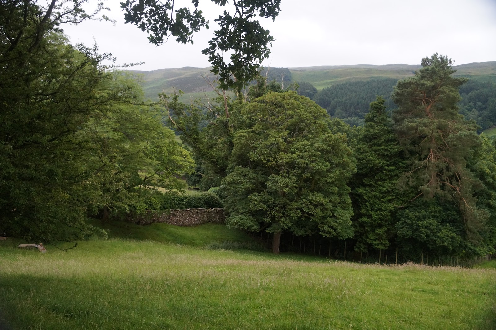
out to lovely views, with farms, fields and trees all around


It was
somewhere along here that I encountered a familiar face

There are
some odd signs in the countryside – this one being no exception:

If I am to
keep the gate closed, then how am I to get through it? Do they expect me to
climb over it? J
Still plenty
of signposts; this one to Frostrow Fell

The gorgeous
garden of this cottage definitely deserved a mention:

Not to mention
the quaint cottages

And, of
course, the red phone box

Arriving at the place where the road and the lane met, a car and trailer came tearing round the corner at quite some speed; I had to jump into the hedge to avoid being clipped by the trailer! We were now at Milthrop Bridge and it was time for dinner. There was an interesting church and tower as we walked into Sedbergh, to where the van was parked:


Finding nowehere serving food in Sedbergh, we drove into Kendal, which was about 10 miles away and ate at a
Wetherspoons:

Once dinner
was eaten, we drove back to Milthrop Bridge and I continued on towards Lincoln’s
Inn Bridge. It was approaching dusk, but I wanted to complete this section of
the walk today, so I set off anyway. OH was to meet me at Lincoln’s Inn Bridge
and we would camp for the night

Over the
bridge and through a narrow gate on the left

Through some
woodland and along a walled trench; this was quite off because the trench seemed to have been dug deliberately right in the middle of the wood and a wall built either side to support the earth:

I missed my
way slightly and found I was unable to exit the wood, but a short (100 yards or
less) backtrack and I found the branch in the path that took me to the gate and
alongside the wall of the woodland, but on the outside of the wood.
I passed a
curious structure known as the ‘Pepperpot’ (for obvious reasons, when you see
it). Oddly, it is not mentioned at all in my guidebook.

Passing
round the edge of some school playing fields (probably the same fields my
nephew played rugby on, as he attended school at Sedbergh), I saw a lovely
house that I couldn’t resist photographing:

Climbing up
past the house, I came to another narrow country lane between at Birks, which
is little more than a stone built farm house

Sometimes,
the signs appear less than helpful:

... and lower down on the same post:

Turning left,
I passed a huge factory that had been a former cotton mill, which appeared to
be having some renovation work done on it:

After the
mill, the path left the lane, branching left, and ran alongside the river.


The path
then ran through fields and a section through some light woodland. I heard a
deep rumbling noise and wondered if it was thundering somewhere. The noise went
on for some time, so I looked around to see if it might have been some farm
machinerly. As I turned, a huge herd of pigs, snorting and rumbling, came
rushing towards me. I was very thankful there was a strong fence between them
and me!!


Shortly
after that, I crested the top of a rise and the view ahead of me was stunning –
the Howgills are among my favourite hills anywhere:

A railway
once ran across this area. There were steps provided in the steep bank

After crossing
the track and descending the less steep bank on the other side, I turned to
look back at the bridge that took the trains across the river:


The river
was very calm at this point and mirrorlike:

Again, the
path led through meadows and in the distance the hills:

Eventually,
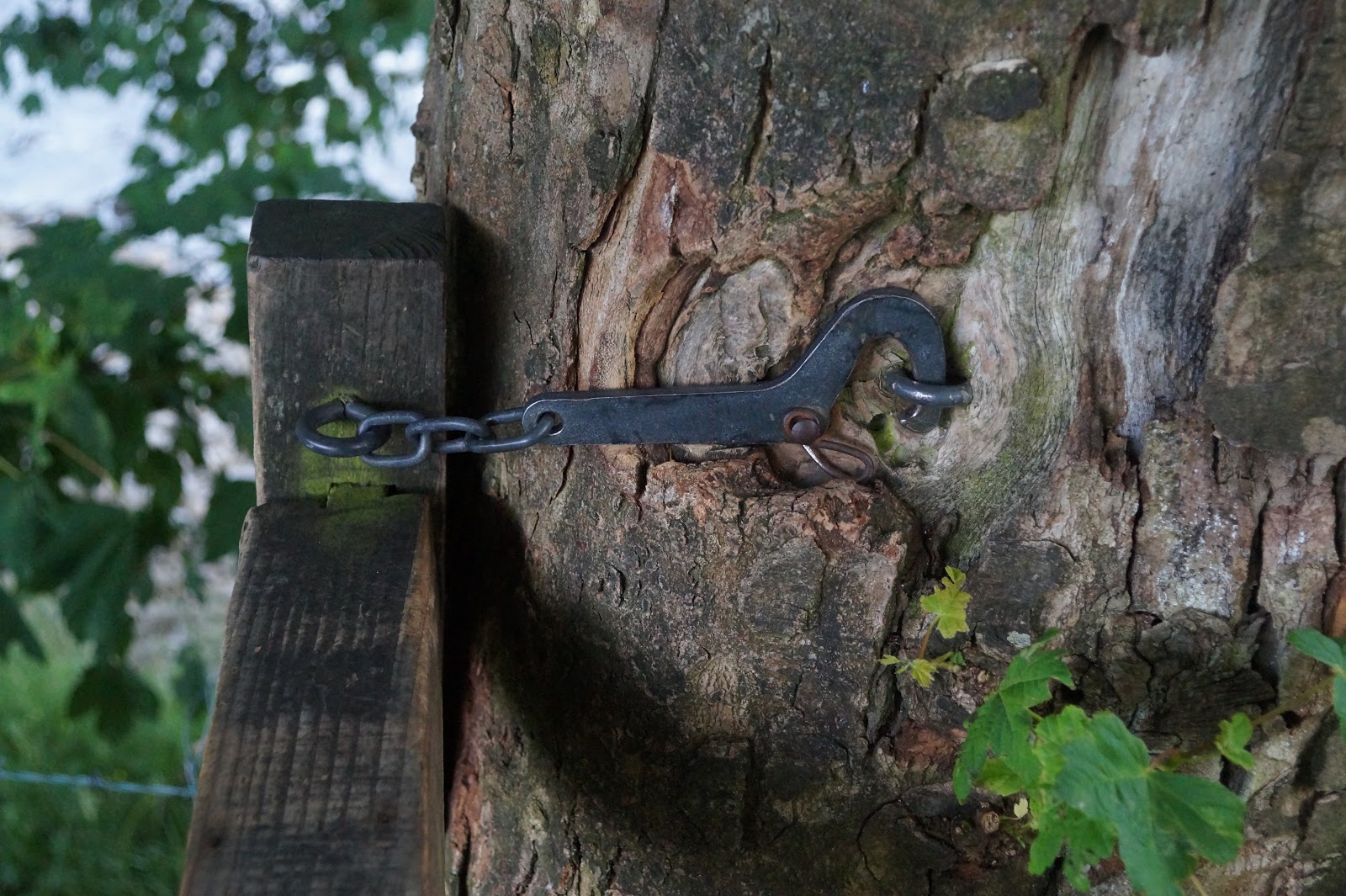
the path led back beside the river. One gate through to the riverside path was
so firmly shut I had to climber over the gate, rather than opening it; the gate
clasp is firmly embedded in the trunk of a tree!
As I
approached the road at Brigflatts, I saw what I presume to be Ingmire Hall in
the distance:

Almost immediately
after this, I found myself on the road again:

with a
signpost to assure me I was still on the right track:

A little way
along the road, I passed a familiar campsite – where Sandra and I had camped
when we tried this walk in March and where we had finally reached the decision
that I would not be walking again L


Past the
campsite and a little further along the road, the path turned off into fields
again:

From here I
could clearly see the Howgill fells, lit up in the late evening sunshine:


Finally, a
signpost naming my destination:

It was
getting dark now, but there was still some beautiful light in the sky:

I walked
along what had once been a green lane, with ancient hedgerows either side, but
all that remained now were the old stumps, which were valiantly trying to
regrow:


I passed
through a farm and set several dogs barking. I couldn’t see them and presumably
they couldn’t see me, but they certainly knew I was there! The path reverted to
open meadows by the river once again, as Lincoln’s Inn Bridge came into view:

Within a few
more moments, I could see the stile that led onto the road where I was to meet
OH

The van was
parked just to the right of the bridge

but OH was
nowhere in sight; neither of course was Storm. Not having any keys to the van,I
waited a while, all the time being eaten alive by midges – ugh! Then I realised
where they were, as I could hear the dogs from the farm setting off a cacophony
once again. About ten minutes later, Storm and OH came into view, but it was by
this time too dark to take a photograph. We climbed into the van and drove back
to Sedbergh to find somewhere to sleep for the night.