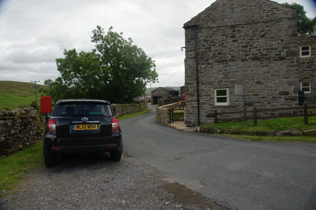
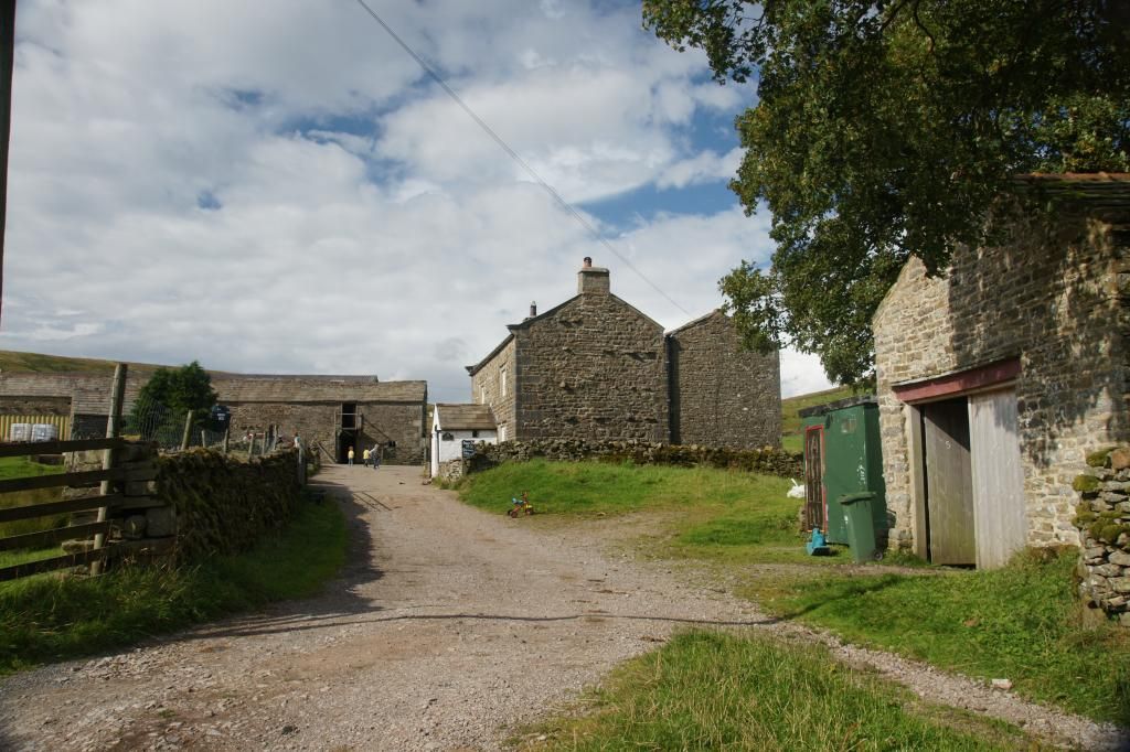
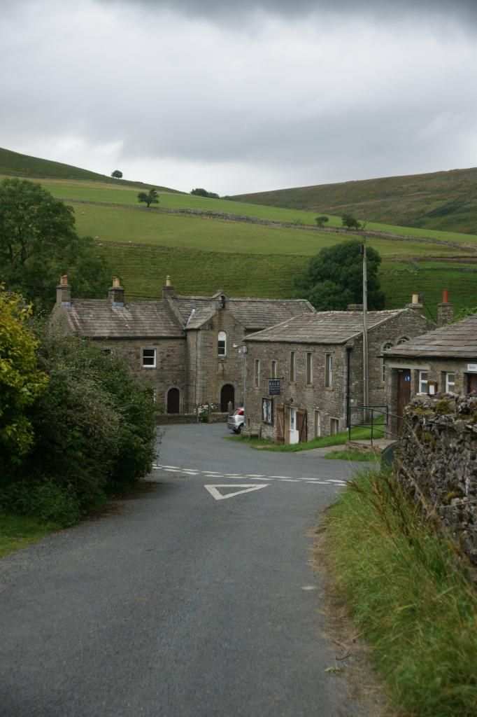
We parked at Rukins Campsite, which boasts an actual car park in the hamlet of Keld, with
an ‘honesty box’ for payment
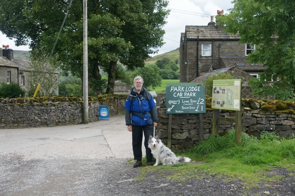
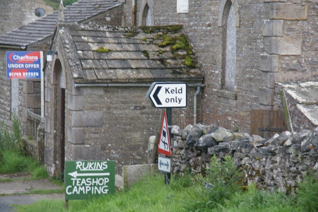
Keld was originally settled by the Norsemen who gave the
village its name of ‘Keld’, which means ‘stream’. It is no more than a farm and a few houses
arranged around a turning circle at the bottom of a lane signposted ‘Keld only’.
It has its own heritage centre, village hall and public toilets.
A sign at the entrance to the car park told us we could get
light refreshments and ice cream. As it was raining when we set off, we decided
we would bear the refreshments in mind for our return.
The car park is on the opposite side of the turning circle
from where our walk began
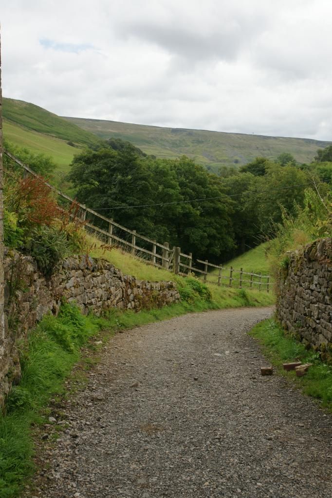
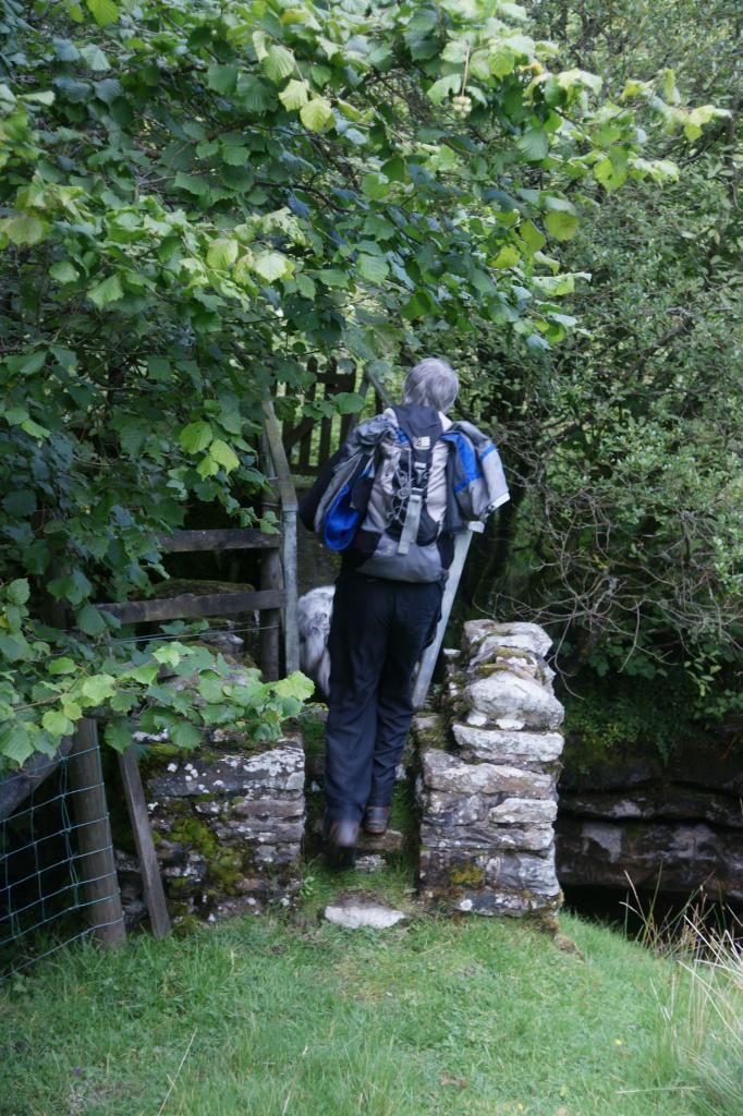
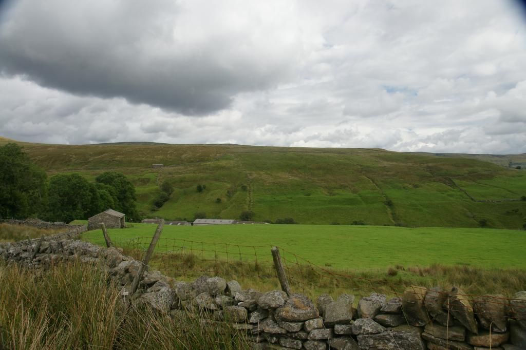
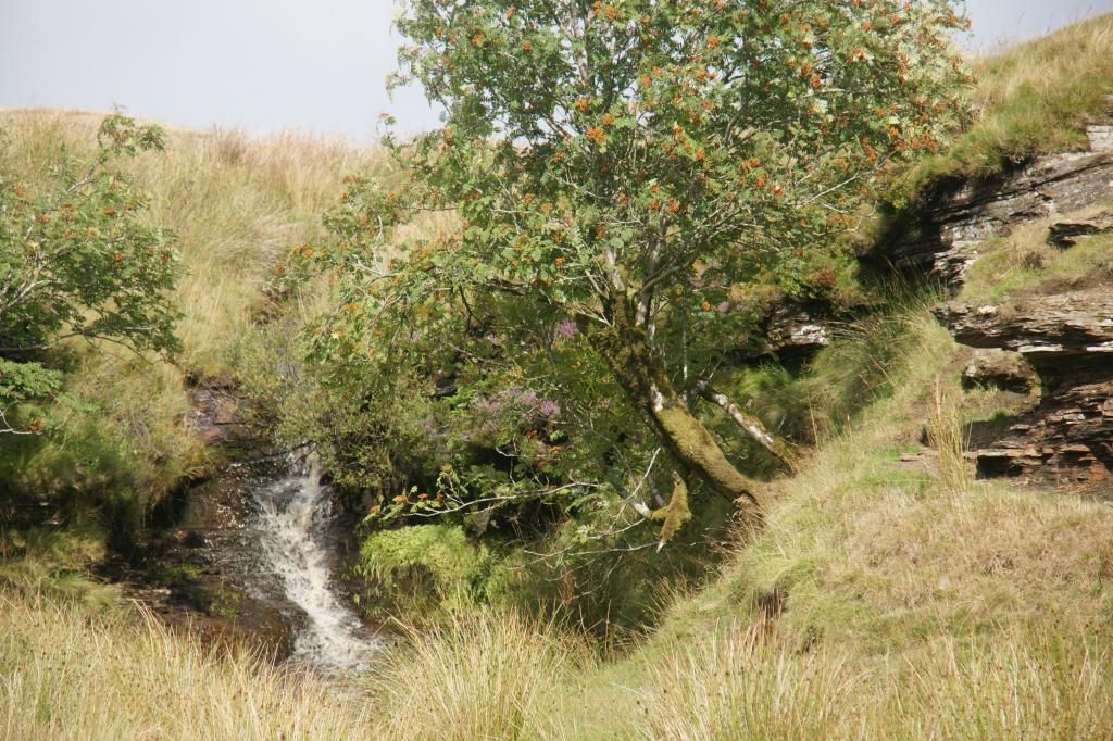
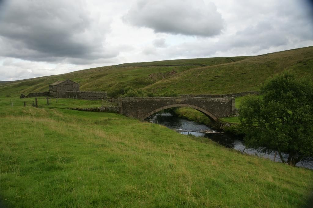
at the bottom of a steep and slippery path (mud and loose
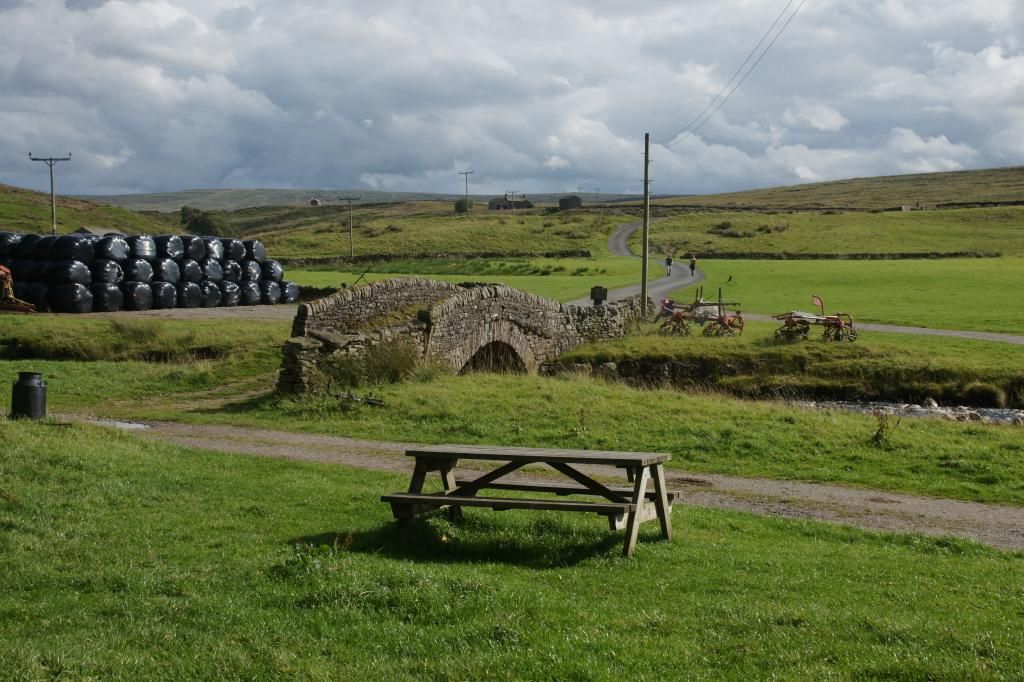
stones), we reached the banks of the River Swale, at the foot of Kisdon Falls
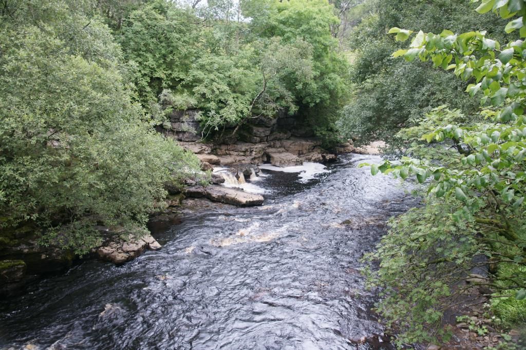
We crossed the footbridge over the river, turned left, then
right, and climbed up from the river bottom, to the top of the bank near East
Stonesdale Farm. It was at this point we joined the Pennine Way, which we
followed for a short distance. It was a good track, which meandered along
through several fields and meadows
The rain (it was no more than drizzle really) stopped and
for the next while we walked in sunshine off and on. At Currack Falls, we
turned right through a gate into a field, where the path became all but
invisible. We followed the river until we came to a copse of trees, where we
walked uphill, away from the river for a time, to avoid them. A short while
later, the path returned to the side of the river with only a few trees between
us and it. Turning left, we crossed another footbridge through the trees and
across the river. At the end of the footbridge, we turned left again
The path continued invisibly through a couple of fields
before emerging at West Stonesdale farm, where there is a group of houses, a
phone bax and a post box
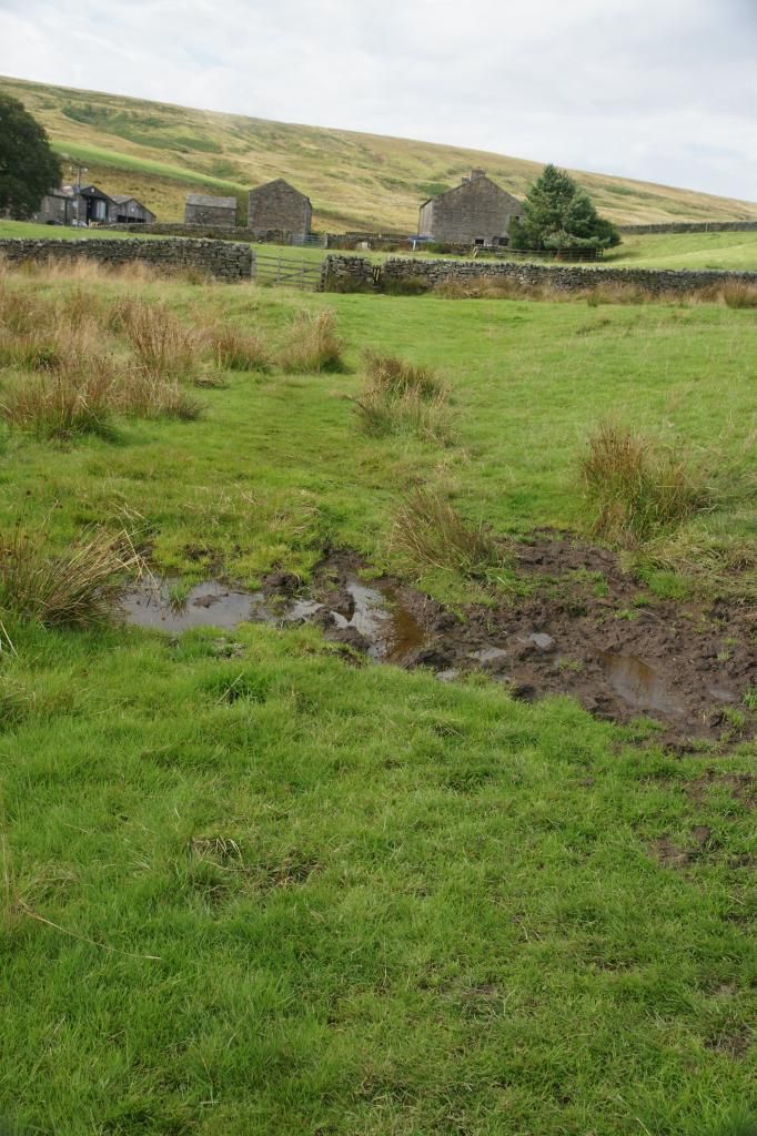
Looking back across the fields we had just crossed:
Turning right, we crossed the road to enter another field
through a gate. This field was very wet. We crossed a small steam and headed
towards a wall, which was to be our companion for the next several miles. We followed
it as it wandered in and out, up and down across several fields, before finally
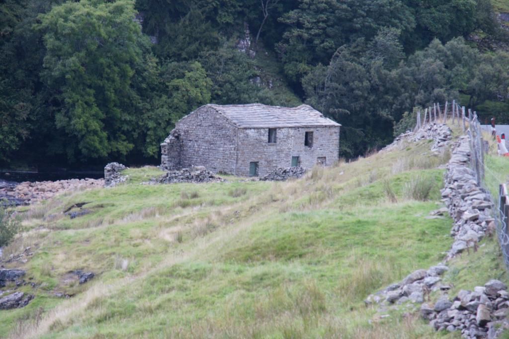
descending to a well trodden track near a semi-derelict barn
We were now on Wainright’s Coast to Coast path. One of the
few signs was here, in the middle of a field:

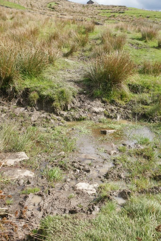
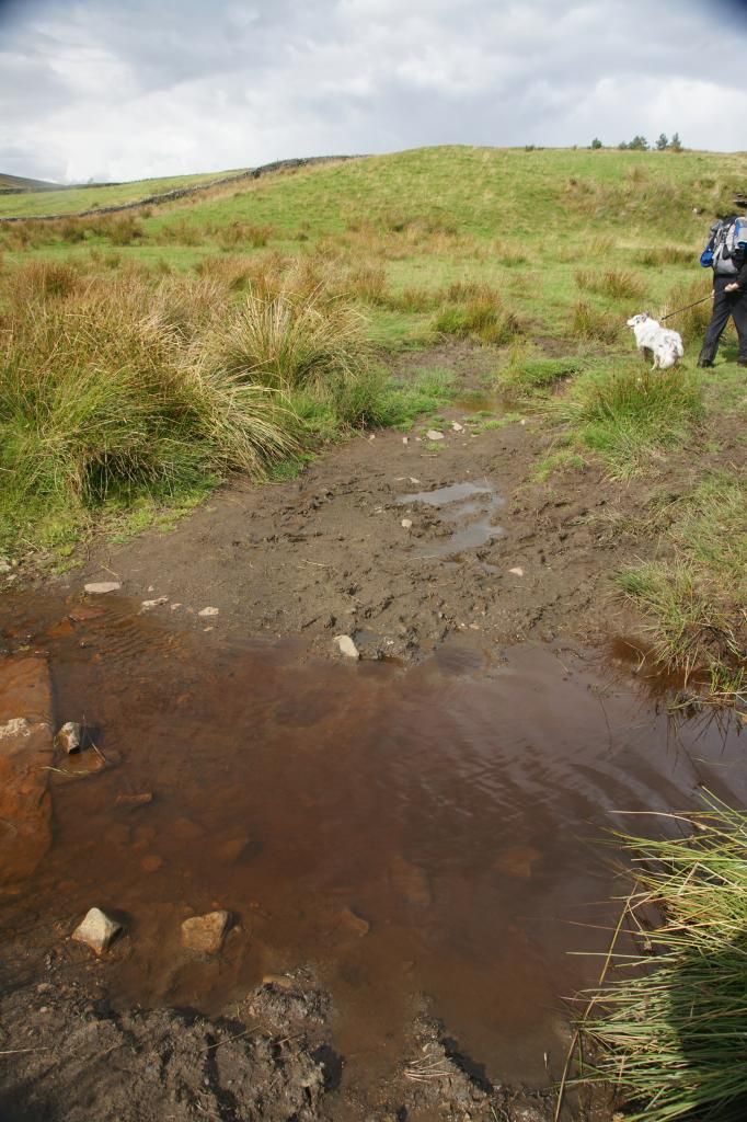
The path began to deteriorate from this point on and soon we
found ourselves trudging through copious amounts of mud. The mud was so bad
(and remember, this is summer time) that on occasion it was impassable and we
had to take a detour round the muddiest parts:
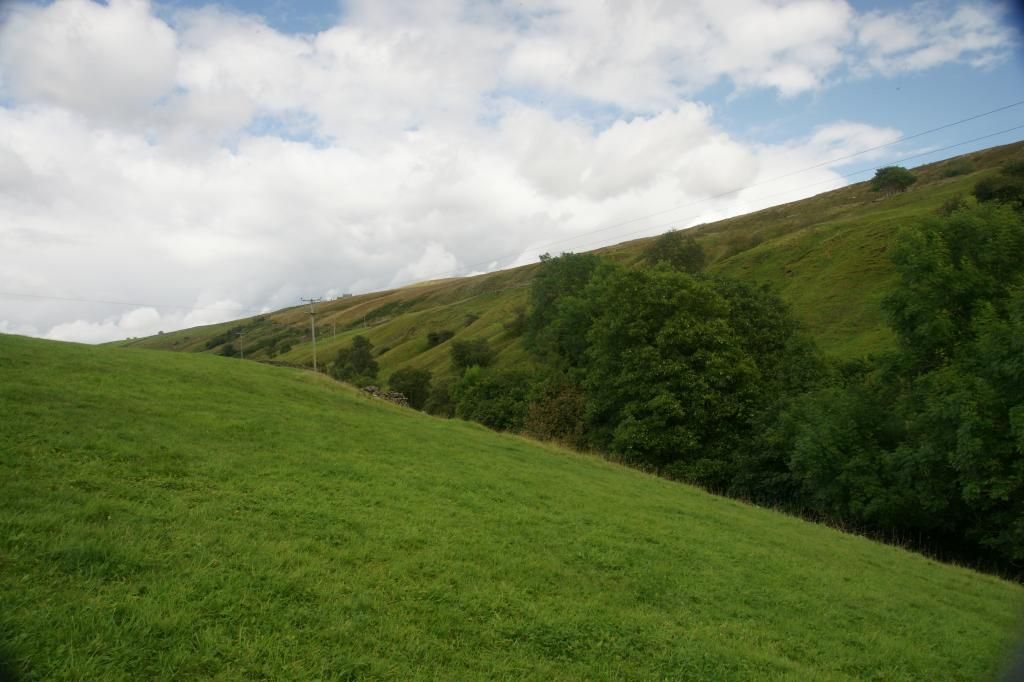
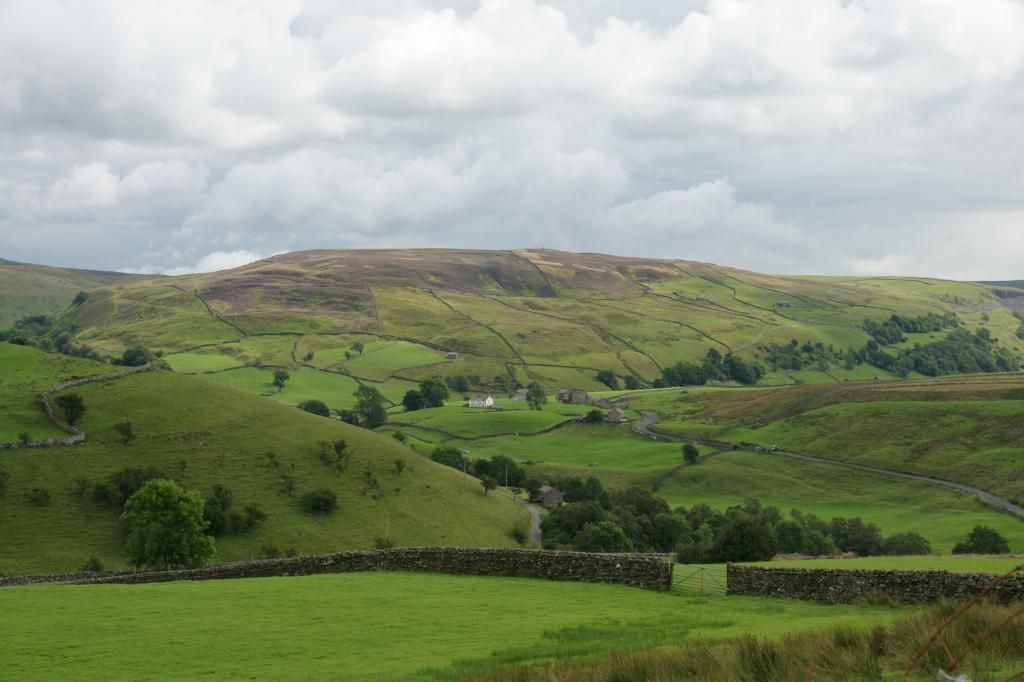
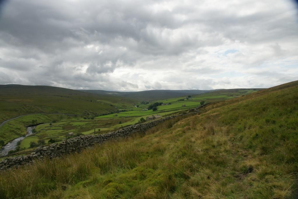
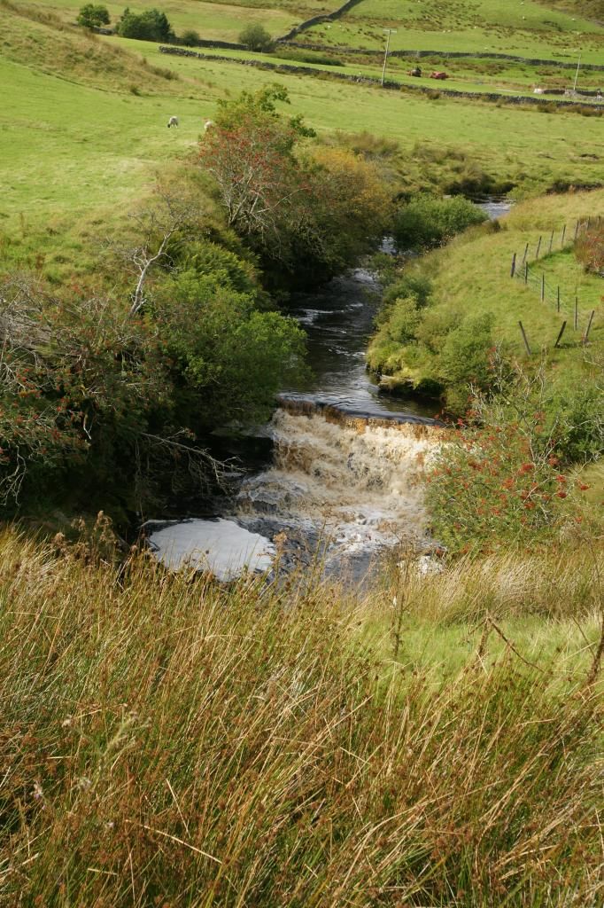
However, there was much compensation in the wonderful views
in all directions:
...and waterfalls in abundance:
Eventually the muddy path ended and we arrived at what had
been a stile, leading into a farm yard. It was however, unusable. The wall at
one side was collapsed and wooden structures, including the original gate, were
tied together across the gap.
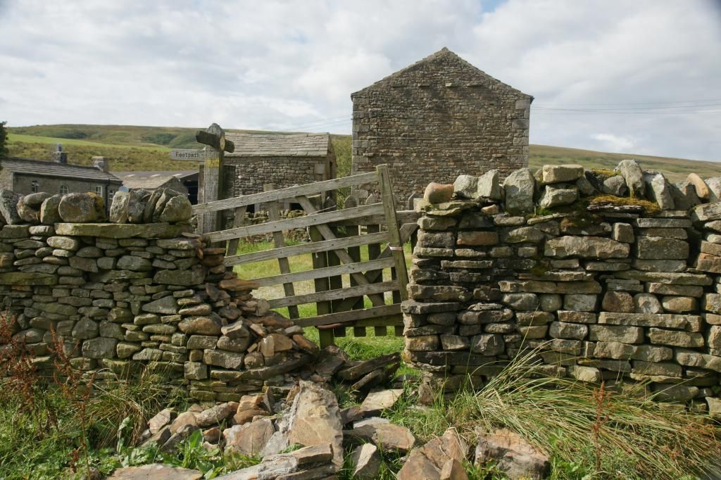
Good thing there was a farm gate right next to it then!
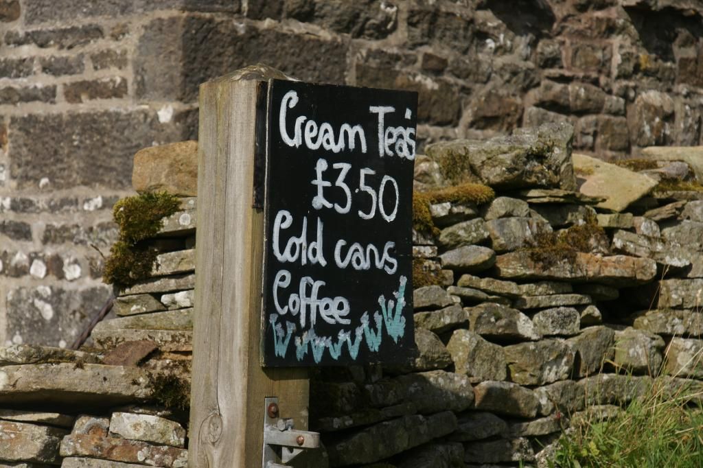
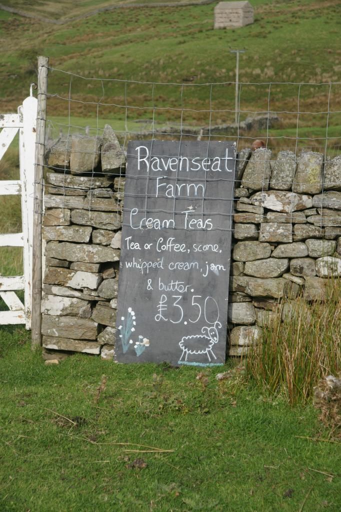
We had now arrived at Raven’s Seat farm, providing
refreshments. And, as its own web page states: a welcome respite from trudging
through the peat bogs! We couldn’t agree more:
As an interesting aside, the older daughter of the farmer
here was called Raven.
After partaking of some light refreshment, we continued over
an old packhorse bridge:
[The couple of walkers in the picture reached the farm
before we left. They were wearing light t-shirts, shorts, and walking boots and
they also had a map; but they had no water or backpacks (and therefore no
waterproofs etc) with them whatsoever].
The packhorse bridge crossed the river (again), and we
crossed, thankfully leaving the Coast to Coast and its mud and peat bogs behind
us. The lane out from the farm was tarmac, which made walking a lot easier. At
the end of the lane was a sign telling us we had been to Raven’s Seat:
The lane merged into another and we followed this to the point
where it joined the road. Crossing slightly to the right, we took a gravel
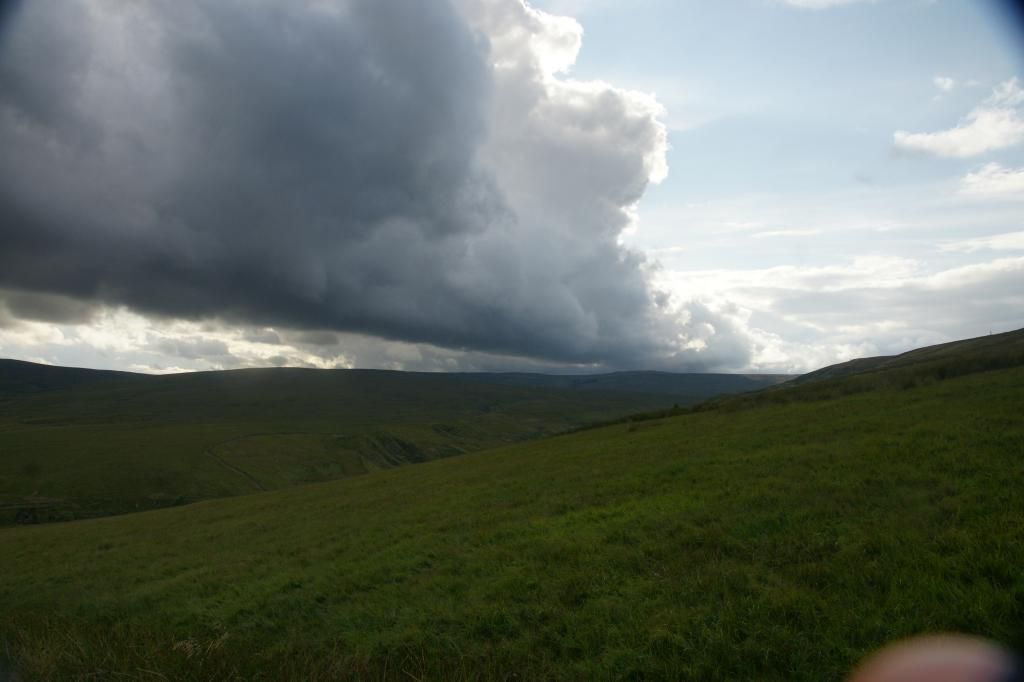
track down towards Stone House. The weather from the west looked threatening
and we expected to get a drenching, so we hurried on
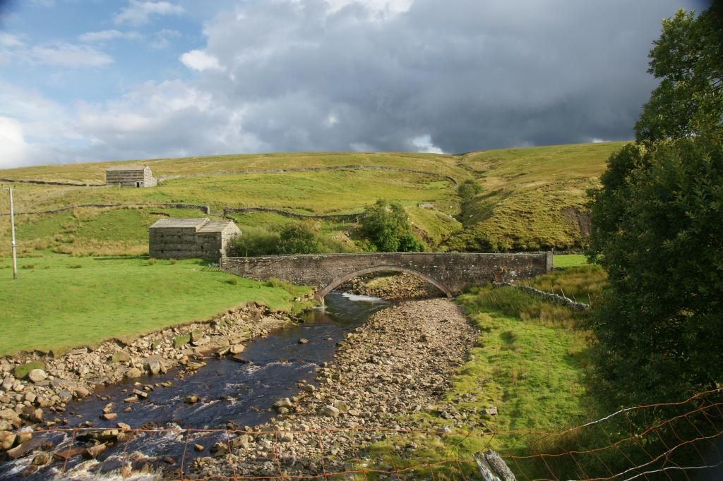
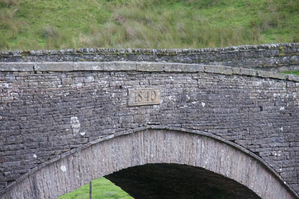
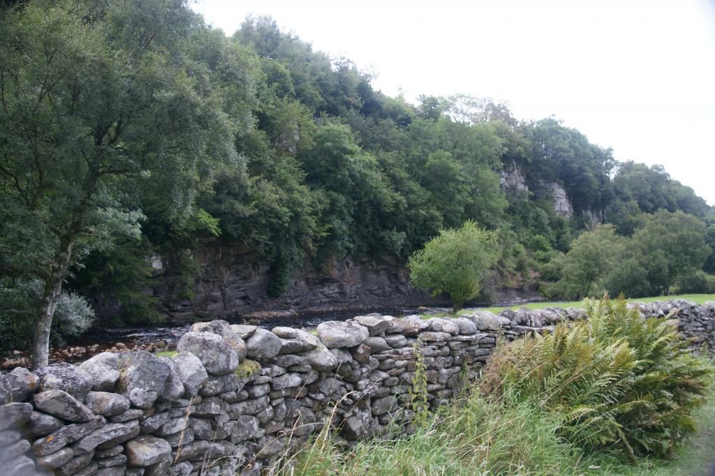
Next to Stone House is a nineteenth century stone bridge. Dogs
were forbidden on the land between the track and the bridge (grouse moor), so
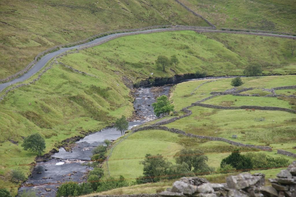
we turned left to follow the river downstream. A little upstream from this
point is the confluence of two streams, Sleddale Beck and Birkdale Beck. Where
the two join is the start of the River Swale, from which Swaledale gets its
name.
Looking back along the brand new River Swale towards the
stone bridge:
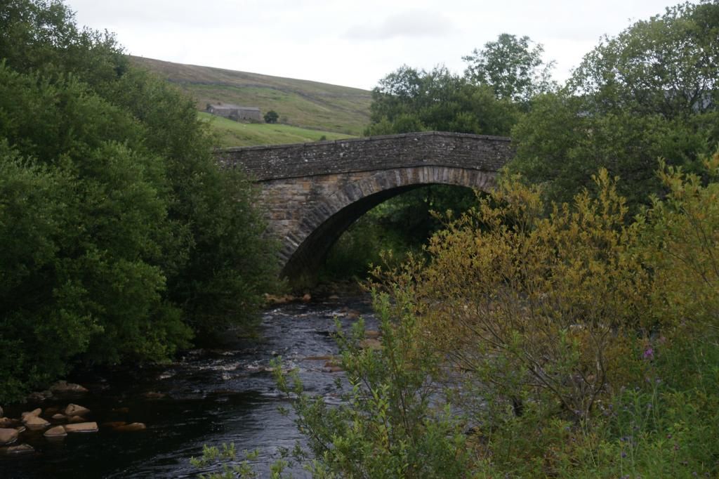
After passing a barn, we went through a gate and shortly
found ourselves approaching the twin bridge to the one at Stone House:
This time, we crossed the bridge (no exclusions for dogs)
and followed an ill-defined path to the road at Hoggarths Bridge
The bridge crosses yet another waterfall:
From here, the route is all road walking back to Keld, but
there was very little traffic (only three or four vehicles in a couple of
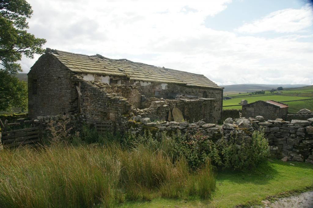
miles). The road follows the right bank of the river downstream. There were
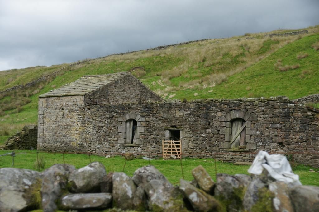
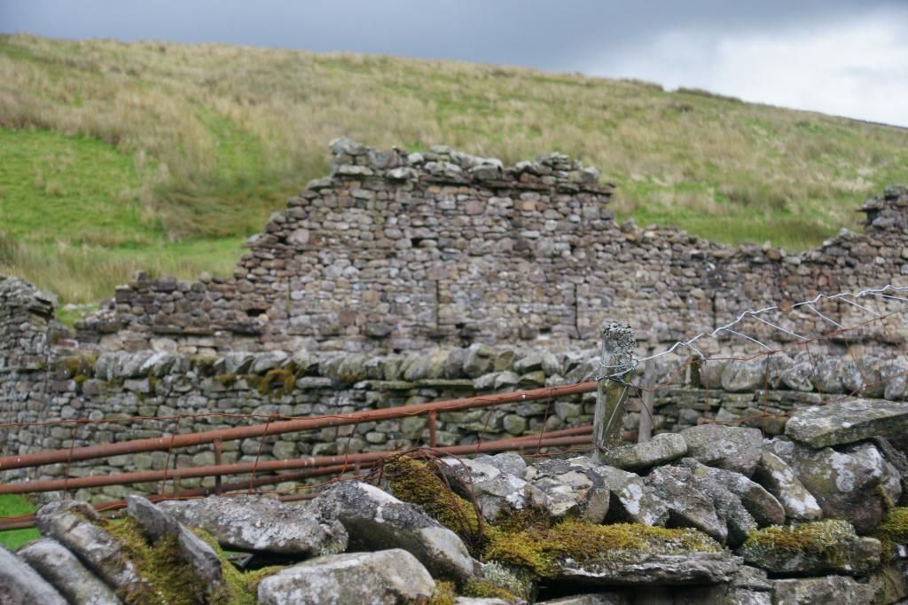
several derelict farms, boasting a more populated past. Some were in better
condition than others:
There were also indications of possible former lead mining
in the area:
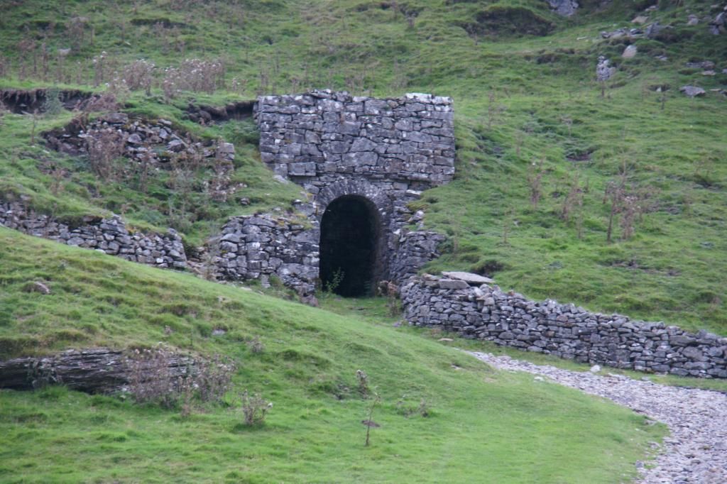
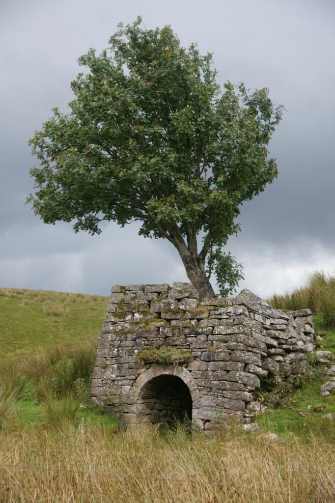
...including something called Brian Cave:
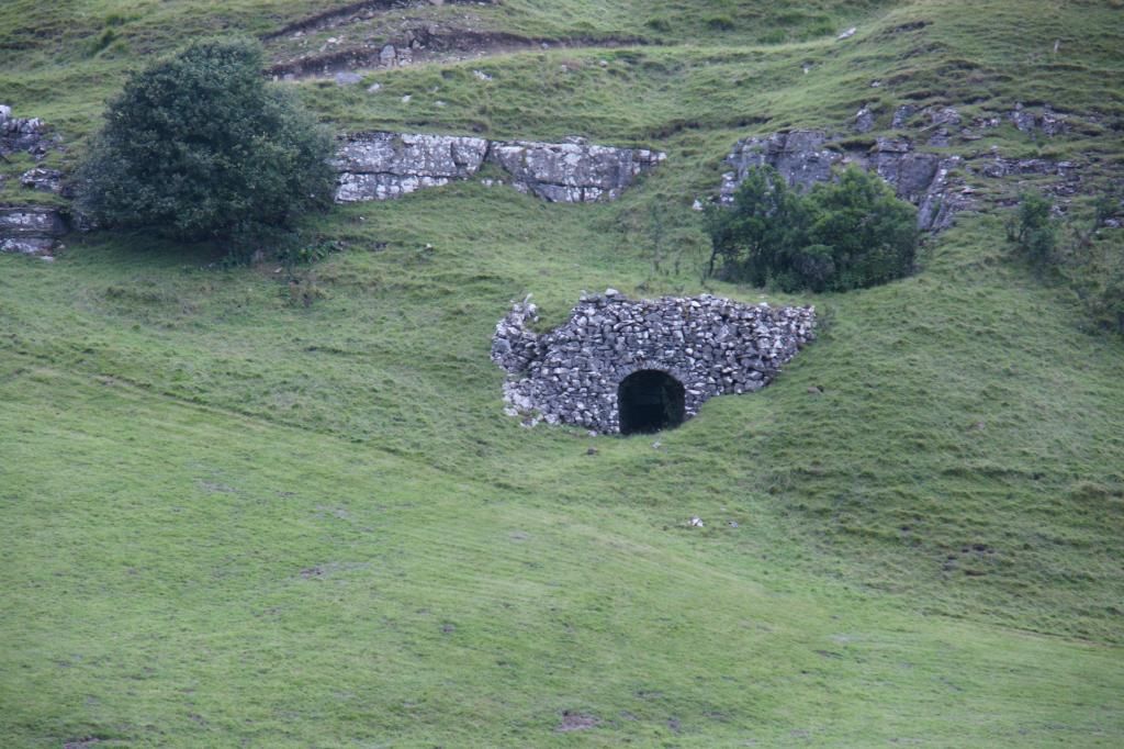
I have no idea how it came to have that name and a search
proved fruitless. If anyone can enlighten me, I would be very grateful.
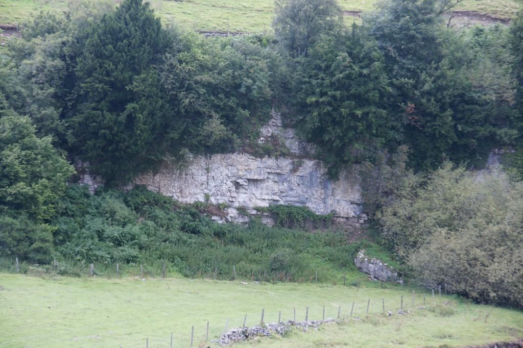
We shortly passed along Cotterby Scar, some sheer limestone
cliffs on the opposite bank of the river:
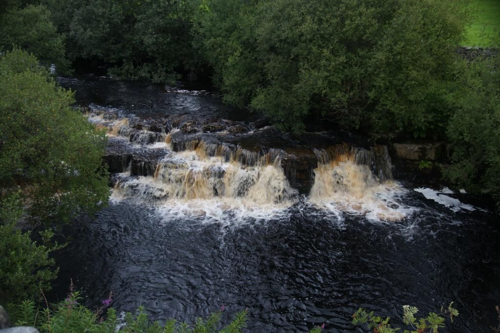
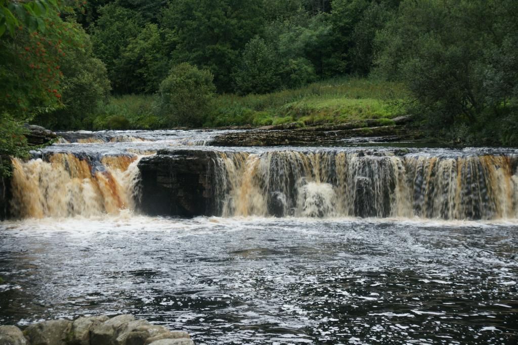
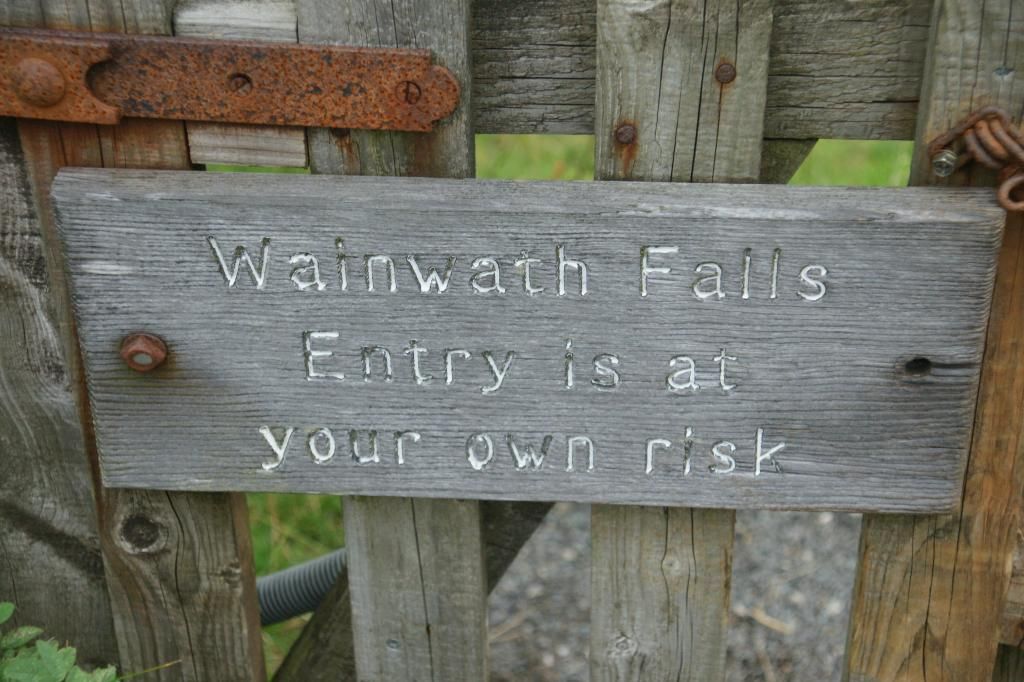
...thereafter along to Wain Wath Falls:
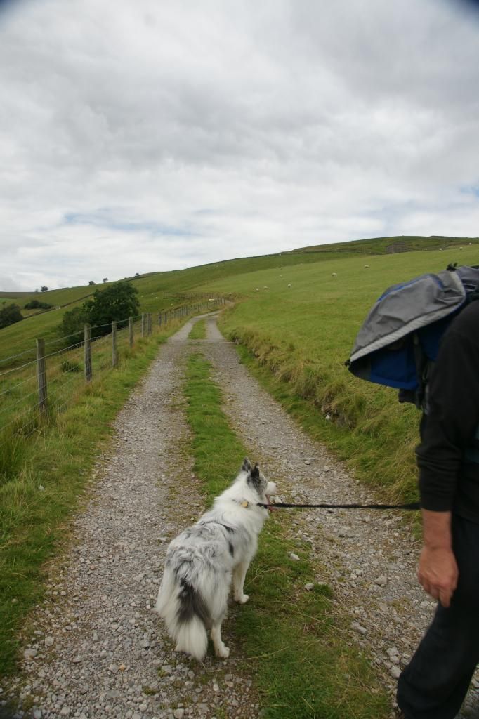
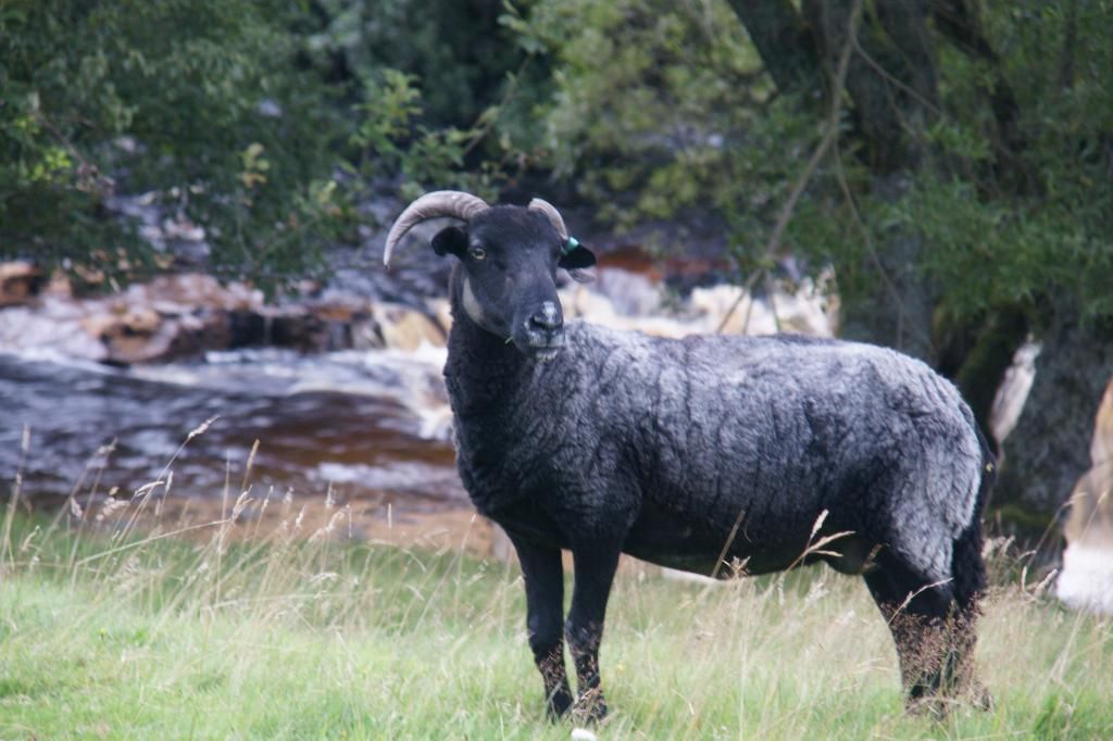
We had seen very few people after Raven’s Seat, but that
didn’t mean we weren’t being watched:
At the now ex-Methodist chapel along the main road
(currently at the time of writing, for sale, presumably for conversion to a
dwelling), we turned left to take the lane back into Keld
The rain had thankfully held off, its threatenings coming to
nothing. As it was later than we had anticipated, instead of stopping at Rukins
Campsite for refreshments, we decided to set off towards home. We drove back
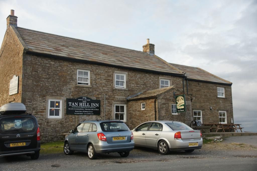
parallel to the route we had just walked and stopped at the Tan Hill Inn (dog
friendly), where we had a very welcome drink (driver: tea; navigator: wine),
before heading home
I have been asked to give some details of this walk by a friend. Okay, the walk came from the Cicerone Guide 'The Yorkshire Dales: North and East' and was walk 24, 'Whitsundale and the head of the River Swale'.
ReplyDeleteOverall, it was about 8 miles and the height gained was 365m. Terrain was farm tracks and moorland paths, the latter being indistinct and somewhat boggy in places. Raven's Seat is just a bit short of the half way mark.
Grid reference for the start point is NY892012 and the direction of travel overall is west to Raven's Seat and then east back to Keld.
Hope this helps and enjoy the walk if you do it.