We parked up at Rose Isle car park ready to walk the 4 ½ miles
to Findhorn and back. The walk is part forest walk and part sandy not-quite-beach
(more of that later).
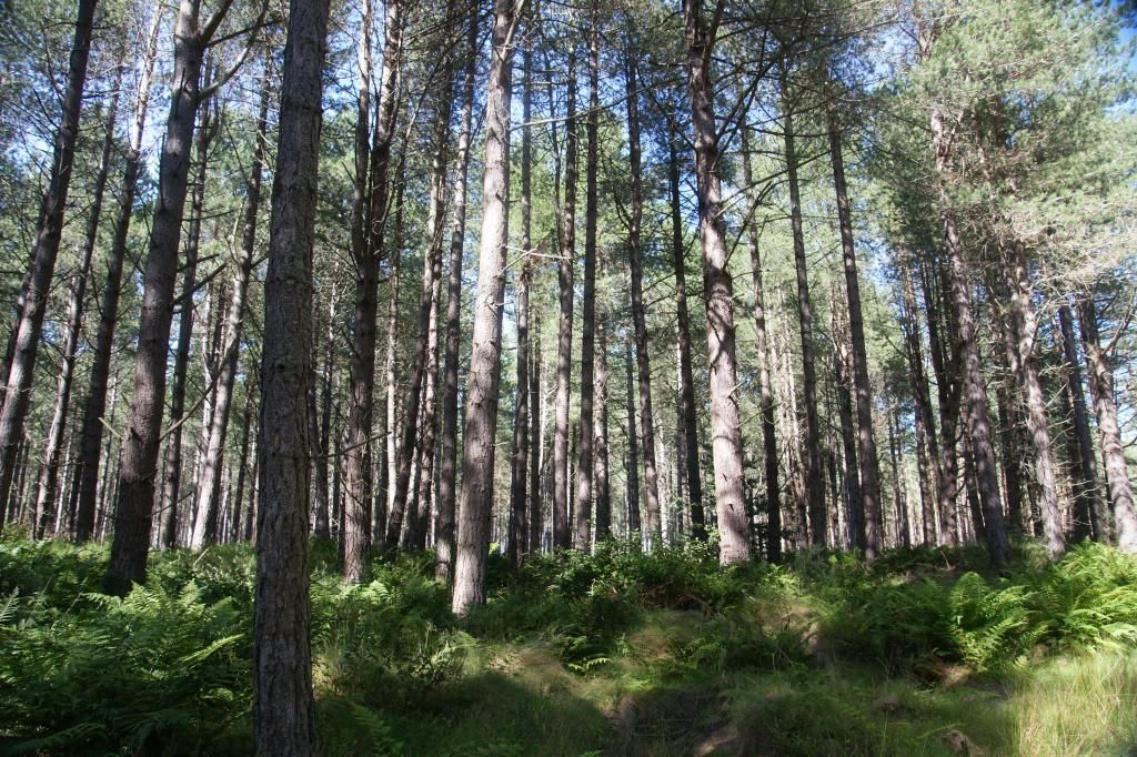
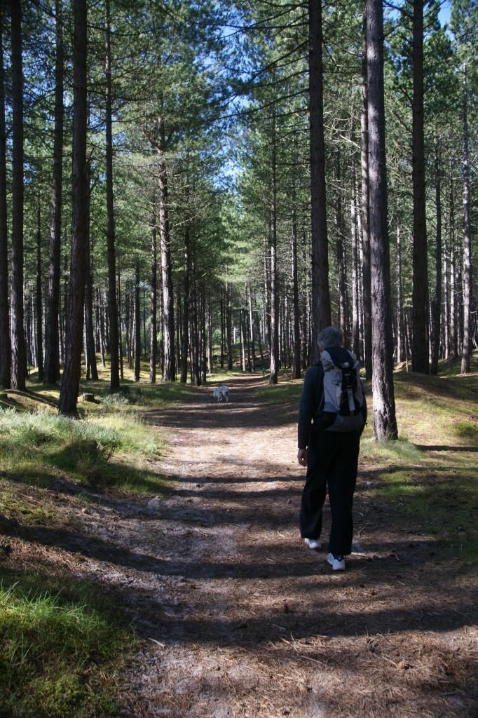
The forest:
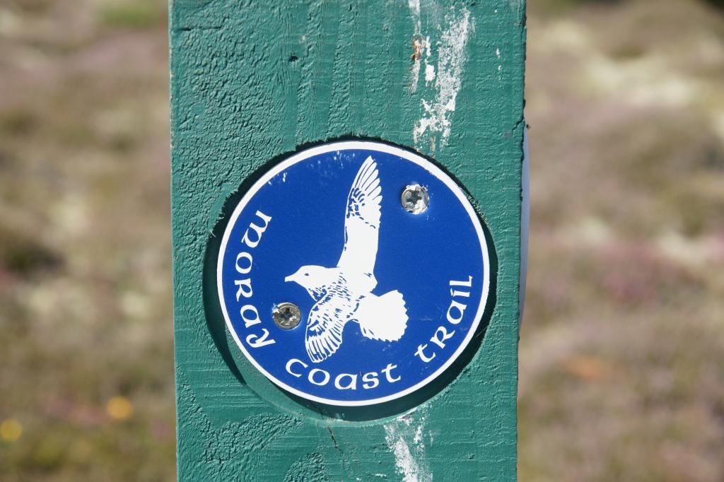
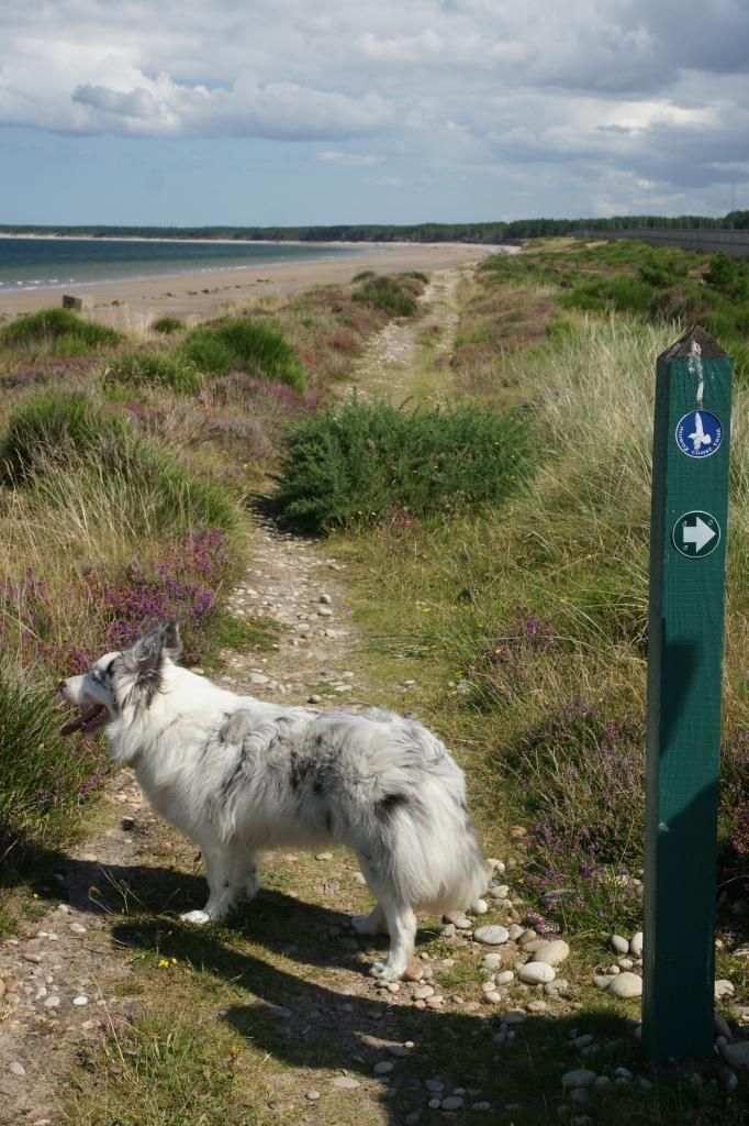
It is a section of the Moray Coast Trail:
The first part of the walk we took a short detour. Instead of
following the main path through the trees, we headed for the edge of the sandy
cliff top above the beach. I call it a cliff, but it is really more of a sand
dune. It was more out in the open, but there are decent views in both
directions, so it was worth it.
Towards Burghead:
Towards Findhorn:
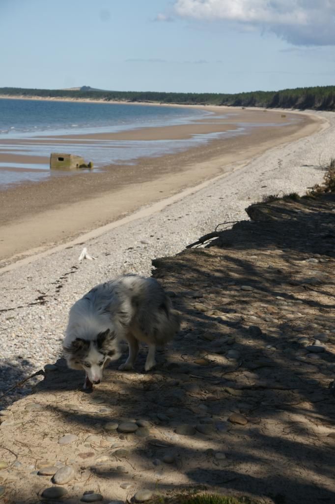
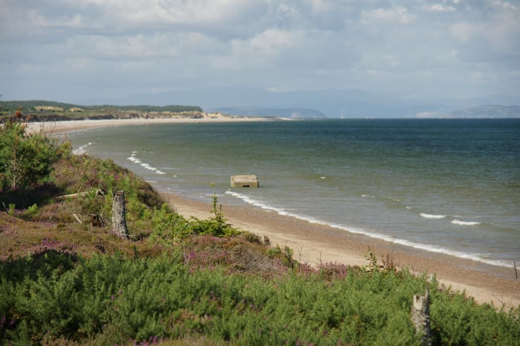
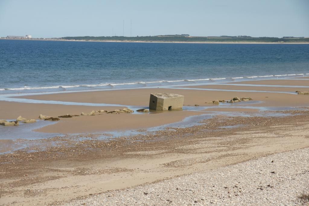
During the war, the locals decided to defend their coastline
by placing huge concrete blocks on the beach, to prevent invasion. These can
still be seen on the stretch towards Burghead and there are also pill boxes
that were placed along the cliff top which have now fallen into the sea due to
coastal erosion:
As we walked into the trees, we could hear gunfire – lots of
gunfire. It was too early for a shooting range (before 9am) and too many
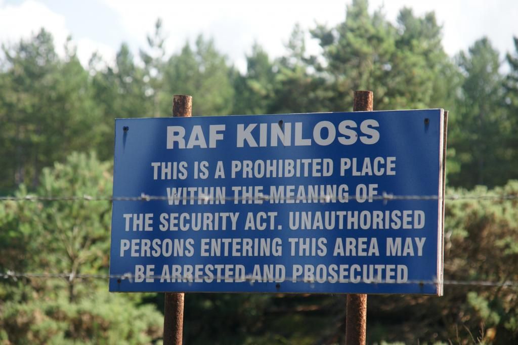
volleys for a hunting party. We decided it was possibly the ranges at RAF
Kinloss. Sure enough, we soon found ourselves walking along side a large fence
and a sign finally told us we had been correct in our assumption:
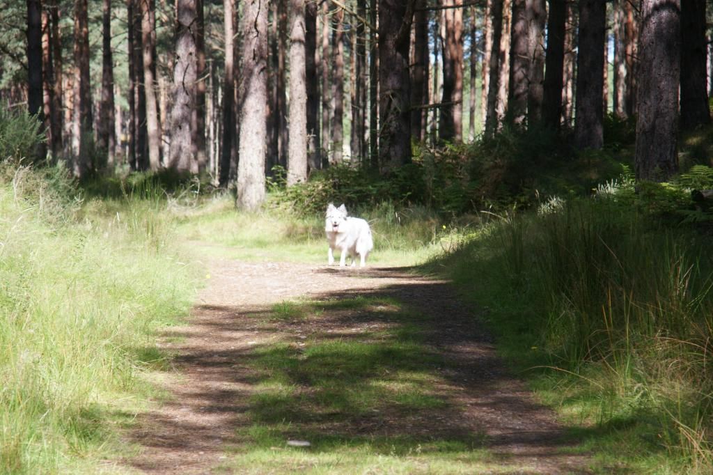
Just checking Mum is still with us:
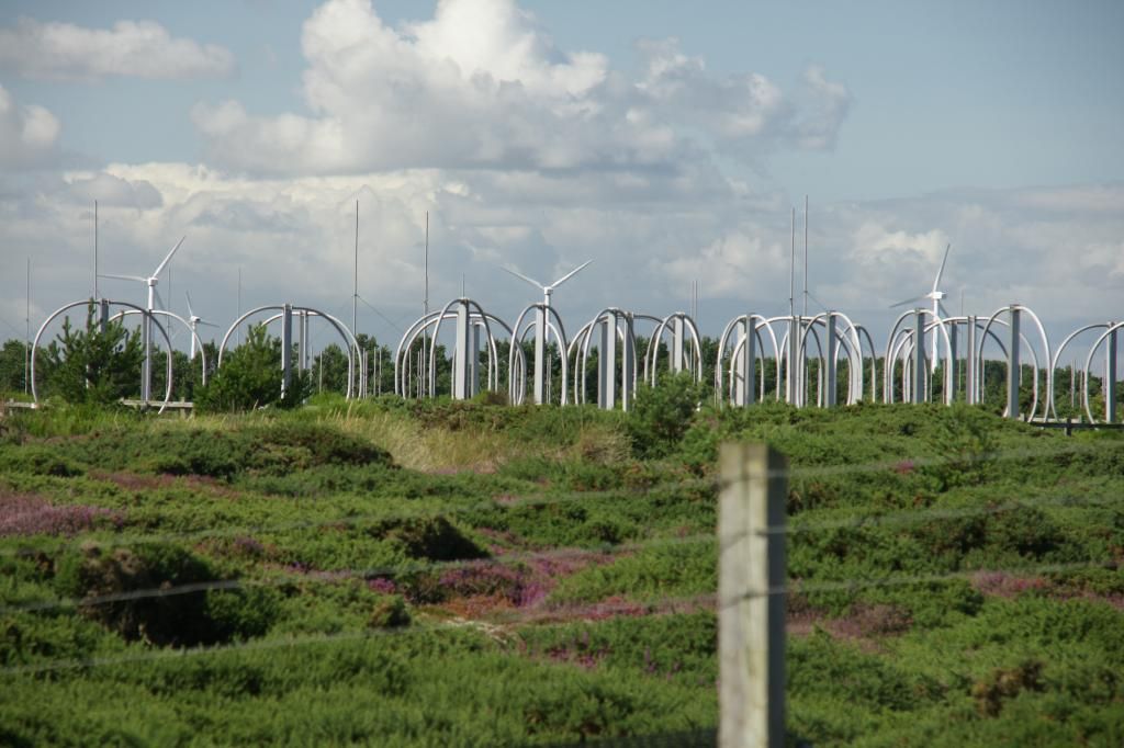
Aerials at RAF Kinloss, some regular ones, some not so
usual:
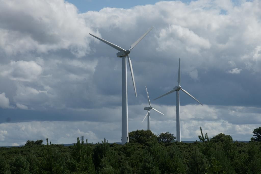
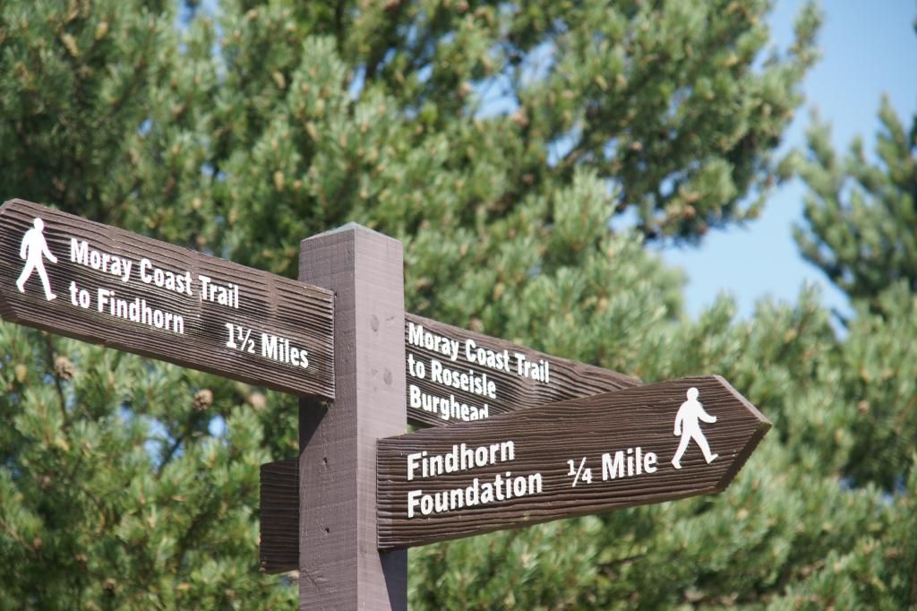
Shortly after the end of the fence around Kinloss, we saw
some wind turbines and not long after that, a sign to the Findhorn Foundation. This is an
eco-friendly group of people who have set up a ‘village’ that is mostly self
sustaining. We didn’t go to visit. Not only does it cost £18 per person to do
so, but it is a whole day experience and we did not know whether they would
welcome Storm or not.
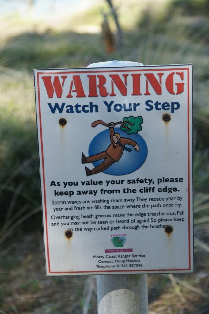
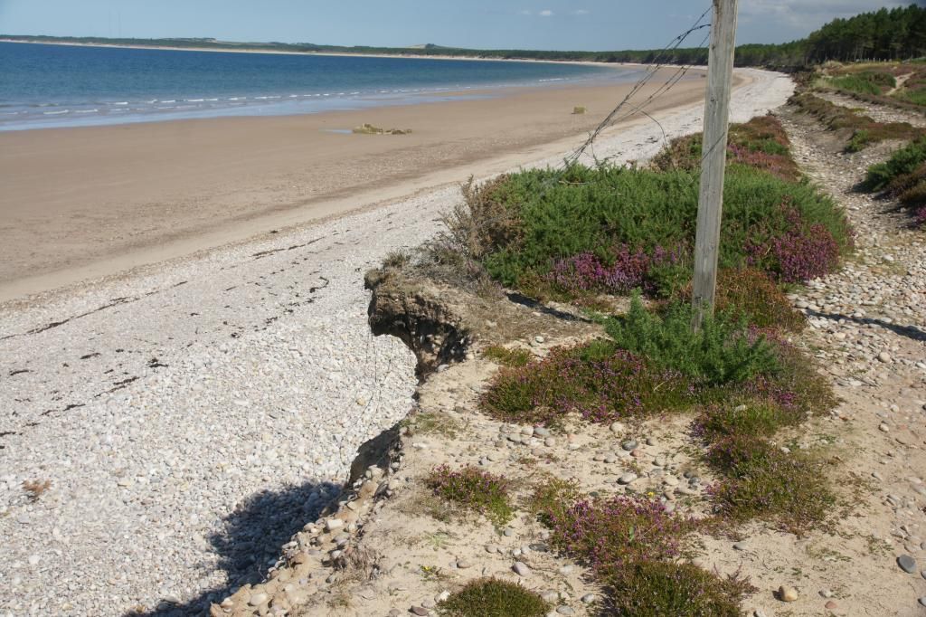
The path varies along this part of the journey. It is mostly
along the cliff top, but where there has been severe erosion of the underside
of the cliff, washed away by the tides and storms, the path detours inland. There
was a helpful sign telling us to use the new paths and not stick resolutely to
the old ones:
The original path with the sign pointing further inland due to erosion:
Further evidence of the erosion:
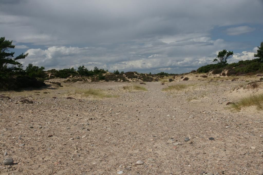
Once inland, the terrain changed to what looked like desert!
It was sandy with stones and pebbles covering it. It was also very arid and
dry:
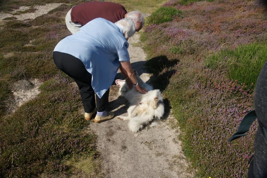
We did meet one couple – a mother and son we think. She was
80 and they had walked out together from Findhorn. They loved Storm and she
relished the attention:
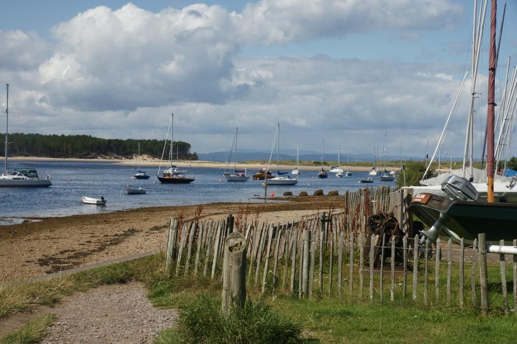
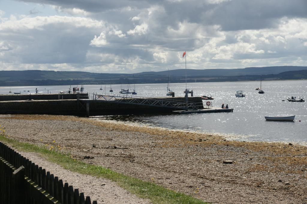
Before too long we arrived at Findhorn:
The Crown and Anchor
welcomed dogs – after 9.30pm, and only if food service had ceased and the dog
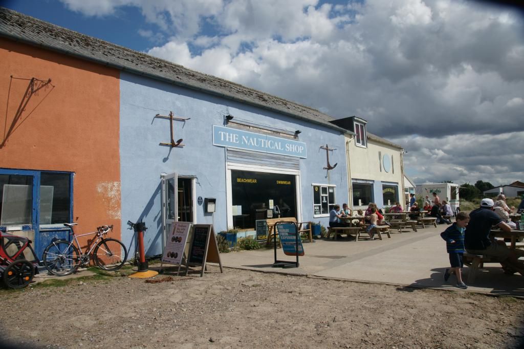
was both clean and dry! So we went instead to the Nautical shop along the front,
which also boasted a cafe. A large dog bowl full of water outside the door was
a good sign. We went in – Storm was not allowed in the actual cafe area, but
they had a seating area in the shop, where we could order food and sit and eat.
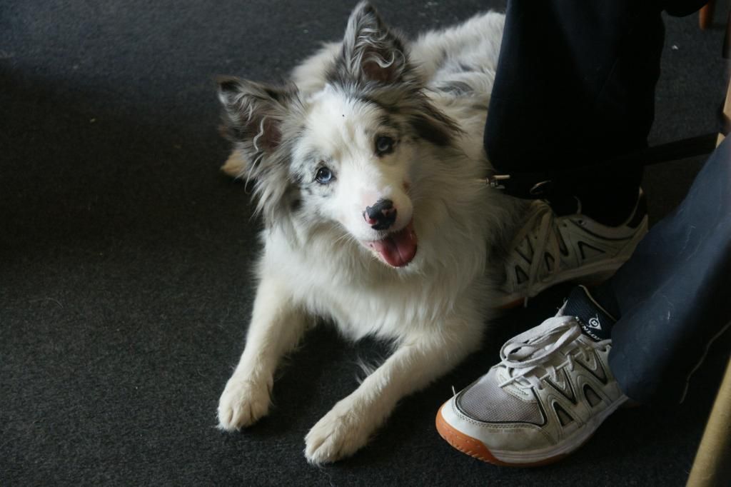
We enjoyed our lunch; Storm enjoyed her water and a rest:
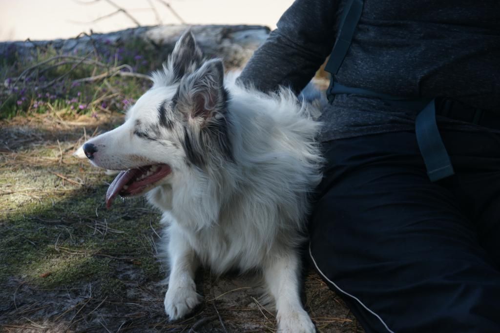
It was then back to Rose Isle, the same way we had come, with a quick rest once we regained the cool of the trees after crossing the 'desert':
.
No comments:
Post a Comment