Map: OL30
Grassington to Buckden
The sun was
shining so OH offered to take me to Grassington to complete the section I
missed due to the weather. The plan was to drop me off in Grassington, then OH
would drive to Buckden and walk with Storm to Kettlewell from there, while I
would walk from Grassington and meet him in Kettlewell. We would then walk to
Buckden together.
By the time
we got to Grassington, it was grey and drizzling, but it was forecast to
brighten up as the day wore on. From the car park, I set off down the path to
the river that Sandra and I had come up when we arrived at the falls.


The meant
we had missed out a few hundred yards of the walk from the falls to the bridge,
so I was going to include that part (and not cheat!).

It didn’t take long to
reach the bridge,

then to my surprise, the walk headed up the road and back
into the town – I walked a complete circle! Sandra hadn’t mentioned that when
she did the same a couple of weeks ago.

I walked up
the main street, looking for a signpost to the town hall, as that is where my guide
book said to go. There wasn’t one, so I stepped briefly inside the wine shop
and asked if the town hall was indeed up this street. He said ‘yes’ but then
explained that it isn’t called the town hall, but the Devonshire Institute, but
it is definitely up that road and ‘you can’t miss it’. He was very friendly and
informative. If I’m back in Grassington, I would definitely be a customer in
his shop. As it was, I didn’t really want to carry a bottle of wine with me to
Buckden in my rucksack!

The road
through that part of the town divides just past the car park. I took the left
fork – and apparently OH was somewhere up the right fork! I didn’t see him, or
the car which he had parked in the town square.
The Devonshire
Institute is indeed a large building and I didn’t miss it!

Just past
it, I turned left and walked down a narrow cobbled street, past the Methodist
church, with an appropriate message over the door and windows:


and on to a bend in the road, where the path to Kettlewell was
signposted – the first signpost of the day.

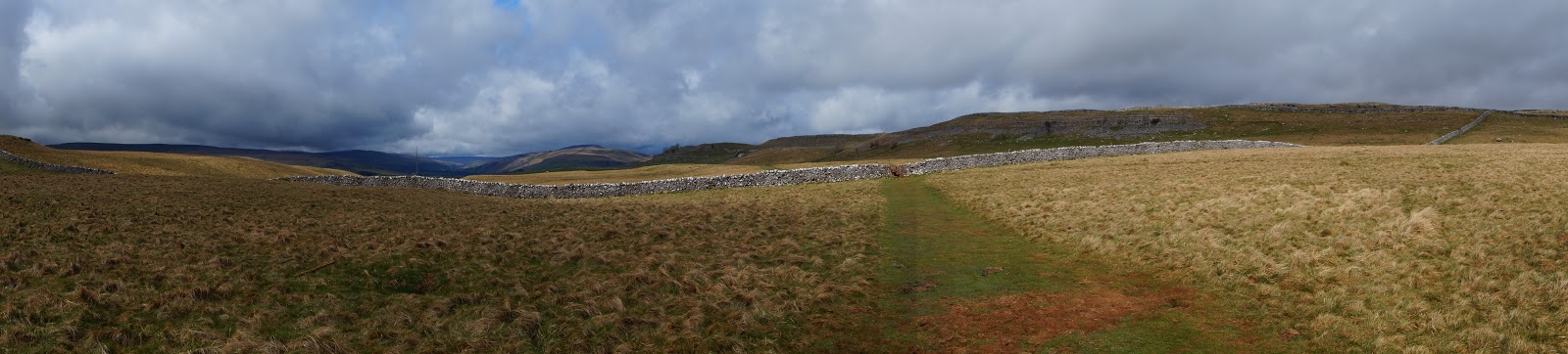
The lane was called Bank Lane and
headed uphill to the right. Before long it levelled off and became a walled
path – the first of several walled paths today.

At the end
of the path, I turned left into a field, crossing several stiles and fields


and onto an
open stretch of land, with rocky outcrops (limestone) in profusion.

The path
was clearly marked but it divided several times. Thankfully, my guidebook is
very detailed and told me to keep to the right, so that’s what I did.
The
limestone outcrops varied from great cliffs, to rocky flat areas, with lone
trees bravely trying to grow between the slabs.


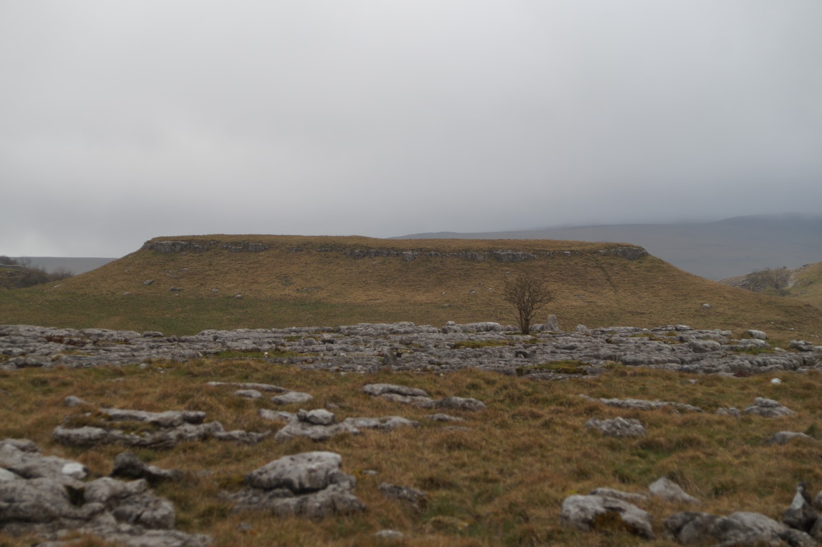
There was an ancient settlement here once, but all that is left is a mound of earth.

Across the path from the mound were these two stones; were they placed here deliberately (like standing stones), or were they just random acts of nature?

It was
inevitable, with all this limestone about, that eventually I would come across
evidence of workings – a well preserved limestone kiln:


After the
kiln, it wasn’t long before the path opened out and I could see the sunlight on
the hills in the distance. It hadn’t actually rained much, but it had been grey
most of the way so far, so the sunshine was a welcome sight.

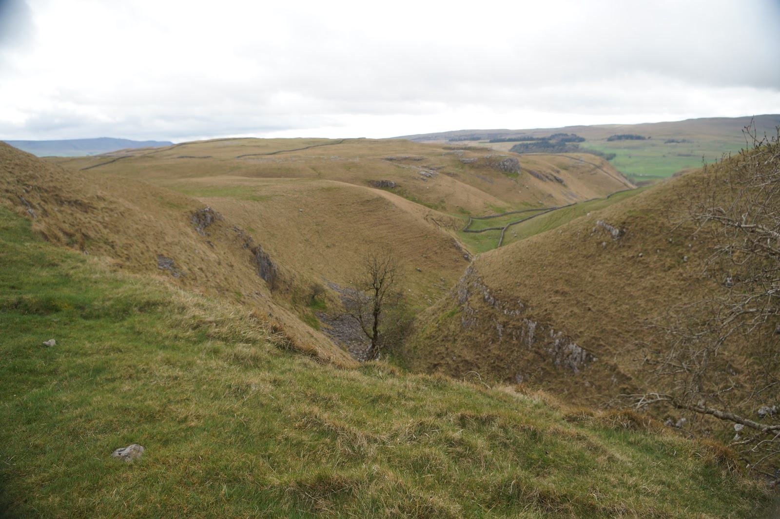
After a
while of walking on the flat, the path started to climb steadily, to by pass a
deep gorge, known as Conistone Dib. I passed over the top of it, where I met a
family – two parents and two children aged about 5years and 18 months. They had
actually climbed up the gorge and were having a picnic in the shelter of a wall
at the top. They were on holiday and had come from Bedford, where I had grown
up (well, from 10 – 16 anyway).

Shortly after
leaving the family to enjoy their picnic, I reached Conistone Pie – a rocky
outcrop perched on top of the hill:

In the far
distance, once past the Pie, I could see the river, which I had not been following very closely today, well
down in the valley:

For most of
the next section, I was shadowed by a cliff to my right:

Which took
me all the way to the entrance to a small area of woodland. Here I met some
more people going in the opposite direction. They asked me where I was headed
(Buckden via Kettlewell) and where I had started (Grassington). They seemed
surprised at the distance and they laughed when I said it was only ten miles or
so. They appeared to think ten miles was a bit far!


For once, my footpath was the one that led downhill!

The woodland
was very short and led to a tiny lane.


The guidebook announced that this was
the ‘back road’ to Kettlewell. I hoped I wouldn’t meet many vehicles, as there
was little room to manoeuvre, even as a single person. Part way along this lane
is a huge house that is used as a Christian conference centre and has been
since the 50s. there were several vehicles here trying to get in, or out, of
the centre, including a motor home, which was finding it something of a
struggle.

Not far
along the lane after the conference centre, I came to a new signpost at a gate
and this was where I left the lane and reverted to crossing fields.

On day five of the original trip, I had seen one lonely celandine trying to brave the weather. Today, the fields were full of them:

These fields
were also full of sheep and their lambs. These two were right by the gate I needed
to use to leave the field:

Several fields
later, the book said to ‘turn down the lane’, but didn’t actually say whether
it was left or right. however, it was obvious when I got there, for the lane
did go slightly downhill, but more to the point, I couldn’t have turned the
other way if I had wanted to as there was no lane to the right! This was
another walled lane and led past the church on the outskirts of Kettlewell.


From here it
only took a few minutes to walk into the centre of Kettlewell, to find OH and
Storm waiting for me near the red phone box. He had not been there more than a
few minutes so we had timed the meeting quite well.

As the weather was so much
better than last time, I took another photo of the phone box to show the
contrast.

The stream
was also not racing along any more, but was behaving more like a stream should!

Together, after
a brief rest, we set off to walk to Buckden. It was only another four miles
further on, but OH had an appointment this evening, so we had not time to
waste. The greenery on the trees was much more evident than three weeks ago:

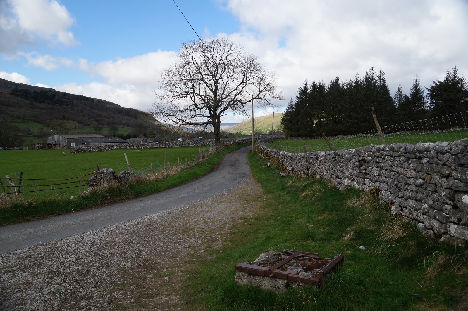
And another
walled lane:

Yes, I'm still following!
The terrain
along this part was very flat and ran mostly beside the river. Where the river
meandered, the path cut straight across the field instead.


A dales
barn:

Storm has
finally mastered the art of climbing stiles. She didn’t actually need to climb this
one, as there was an open gate right next to it, but she was keen to show off
her new skills and so ran up and down the stile several times:


Starbotton
is two miles (roughly half way) and there was a bridge leading to it, but we
didn’t have time to walk into the village – if you remember, there was a red
phone box and an equally red post box, separated by a bench, that I had really
wanted to photograph. But we bypassed the detour and hurried on to Buckden.

Starbotton in the distance; I really hoped that path behind it wasn't where I was meant to go!
It really
didn’t take that long and we arrived at the bridge at Buckden in good time.


It was just
a short walk from there to the car. As a bonus, as we had not delayed, we drove
the two miles into Starbotton and I got my photos after all J

Nice to see what it looks like on a fine day!
ReplyDeleteThere were one or two puddles, so I could imagine how bad it must have been when you did it in the pouring rain!
DeleteThis comment has been removed by the author.
Delete